“We use HazardHub to drive our predictive model, to create more accurate pricing down to the risk level - even more so that what we get from the rating bureaus.”
Dan Borges
CIO

AI-driven peril risk scores, real-time geospatial data,
and underwriting recommendations for property insurance.
Achieve better business outcomes such as:


Property underwriting is harder today than ever before. To win, insurers need comprehensive, predictive risk data embedded into their existing workflows.

Lower loss costs and operational expenses with the most current and granular property risk data.
2 pt
Loss ratio improvement
Use predictive scores to filter out bad risks and decrease the likelihood of future claims.
1.4 pt
Expense ratio reduction
Automate quoting and focus inspections where they add the most value.
7%
Premium growth increase
Write more profitable business by pricing it right from the start.
Watch how built-in intelligence gives property underwriters the data they need, right where they need it, to make quicker, more accurate calls.
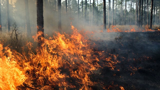
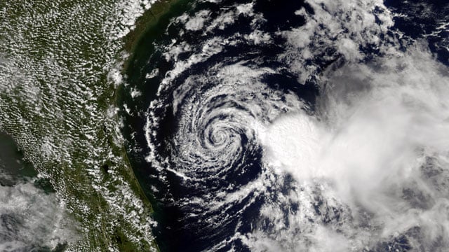
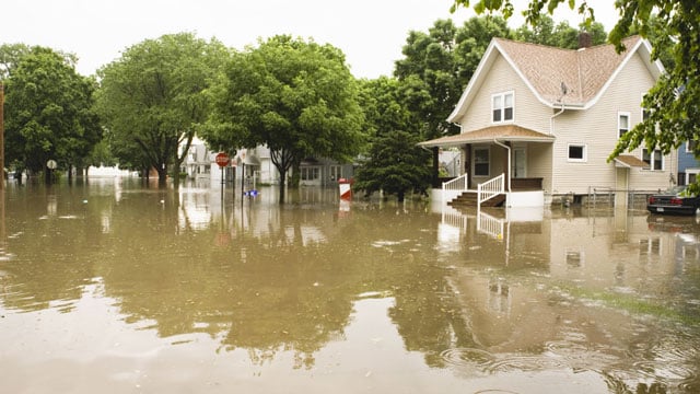
Wildfire. Wind. Hail. Flood. Crime. If it can affect a property, it’s here. See the data for yourself below.
Understand a property’s wildfire risk before you make the call. Our Wildfire 3.0 model brings together proprietary data and advanced machine learning techniques, so you can see wildfire exposure in more detail that moves beyond standard US Forest Service data. Key fire risk data includes:
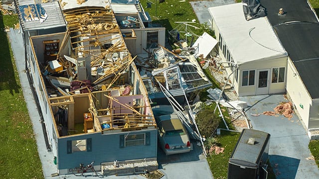
Understand the weather risks tied to any address, including how often severe events happen and how exposed the property is today. Key weather risk data includes:
Flood zones only tell part of the story. We help you go beyond FEMA maps with a 360-degree view of water risk at the address level, including flooding, storm surge, and interior water damage. Key water risk data includes:
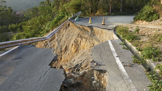
See what’s happening beneath the surface before you bind. With address-level insight into seismic, geological, and terrain exposure, you can spot risks more clearly and avoid surprises in your underwriting. Key earth risk data includes:
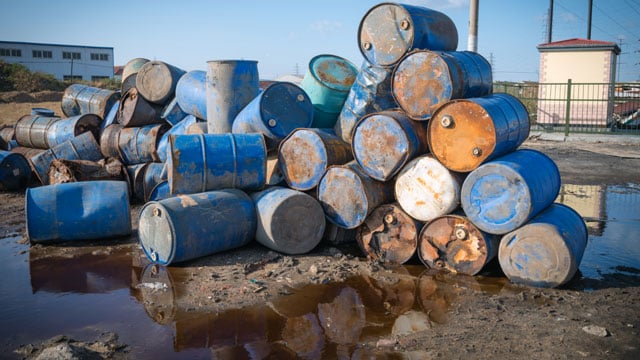
Risk isn't always natural. HazardHub tracks thousands of man-made hazards that impact property value, safety, and liability. Key man-made risk data includes:
Application estimates aren’t always the full picture. With county assessor data, structural details are verified rather than estimated, giving you a clearer view of property from the start. Key property characteristic data include:
Ensure every property is Insured to Value (ITV) from day one. Our valuation module lets you use local data to estimate rebuild costs, so you can feel confident you’re not underinsuring. Key replacement cost data includes:
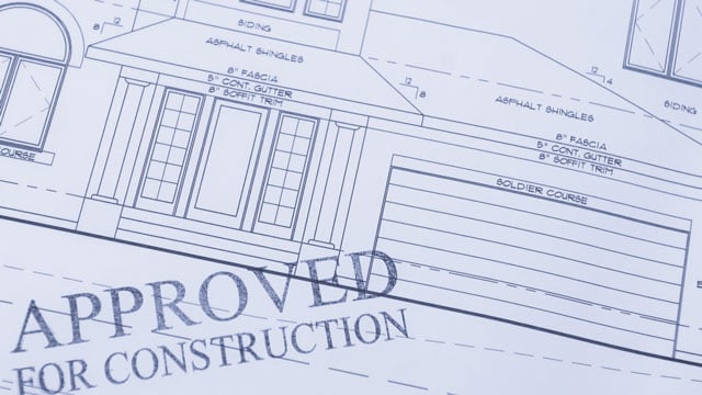
Permits give you a reliable, third-party way to confirm property details. With access to our permit library, you can check roof age, flag unapproved additions, and see what major upgrades have been made over time. Key permit data includes:
Make better decisions with a complete view of property risk across underwriting, pricing, and portfolio management.


“We use HazardHub to drive our predictive model, to create more accurate pricing down to the risk level - even more so that what we get from the rating bureaus.”
Dan Borges
CIO
Start a free trial and see the full property risk profile for any US address.
All fields are required