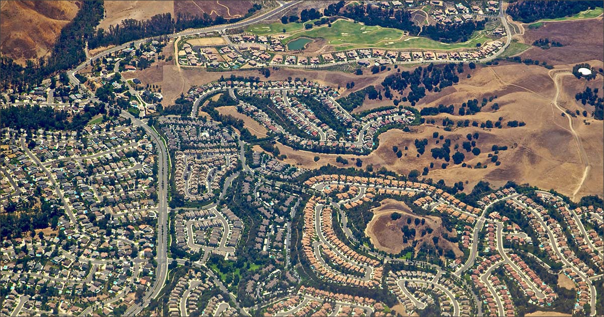
In the textbook Foundations of Casualty Actuarial Science published by the Casualty Actuarial Society, Robert J. Finger provides four criteria for selecting rating variables in his section on “Risk Classification.” As one of the most fundamental elements of the property insurance rate calculation, one might expect “Territory” based hazard rating to meet those criteria. However, territory-based rating falls well short of these criteria. If, after reading this blog, you agree that we may need to consider an alternative to traditional territorial-based ratemaking, then I have a new white paper you may be interested in reading. Actuarial criteria require accuracy, first and foremost, followed closely by homogeneity, credibility, and reliability. Territories based on zip code, census block, or other municipal boundaries fail to meet homogeneity and accuracy standards. One key reason: Risk is not often distributed uniformly across any widely defined territory, and past performance across a territory is not often indicative of future loss. While we can and do make adjustments for catastrophes and shock losses, the variability in exposure across a region guarantees an element of randomness in the relative performance between territories. Accuracy suffers as a result. Reliability requires predictive stability. Under the current status quo, the difference in costs between territories is subject to large and random fluctuations from year to year. This makes territories less reliable as a rating variable. Operational criteria require risk definitions with classifications that are mutually exclusive and exhaustive with minimal chance for administrative error. This is the primary reason territories are now defined by zip codes or census blocks rather than geographic areas with arbitrary boundaries, such as railroad tracks or bodies of water. While this improves the administrative expense associated with territory administration, it took us further from meeting the actuarial standard of homogeneity. Additionally, Robert Finger cautions us to use variables that are intuitively related to costs, and which avoid extreme discontinuities. Quite to the contrary, current territory risk definitions are not generally related to costs and often create extreme discontinuities, which can raise allegations of red-lining. Customer perceptions of insurance demand a degree of causality or controllability on the part of the insured. Current methods leave neighbors scratching their heads as to why one pays hundreds or thousands of dollars more per year for seemingly identical exposures and coverage. This issue is amplified along territory boundaries. As legal criteria require equal treatment, this issue has driven lawsuits over territory assignments in the past. Given the pitfalls of current methodologies, it is a wonder we are still using territory-based pricing. While methods have evolved, the concept of using territories to create geographic averages has not been questioned. Perhaps that’s because there was not really any alternative. However, in catastrophe perils we have begun to see an evolution. Territories are no longer used for pricing wildfire or hurricane risk/policies. What’s stopping us from assessing and pricing other perils as we have evolved to evaluate wildfires and hurricanes? What if you could understand every peril, every risk from a ground-up property lens? By a peril perspective that relates every geocode to a degree of hazard for each rating group of perils? What if you didn’t have to administer territories anymore and your pricing accuracy improved? Such an approach would drive improved risk selection, improved underwriting, and an improved bottom line. Well, that future is available to us thanks to advances in satellite technology, geospatial information systems (GIS), and geospatial AI (GeoAI), which enable more accurate, detailed property-level data and risk scores for natural hazards like wind and hail and man-made hazards like leaking underground storage tanks or crime. I invite you to learn more about what we term as Geospatial Hazard Rating by reading this recently published white paper. Looking to accurately assess and price property risks? See how the HazardHub Risk Analytics & Data Platform, featuring Property Risk Score for Multiple Perils and Property Risk Data, can help you.